Notice: This page is still under development and currently being built. It is not yet intended for the public and will still change in content and appearance.
 For iPhone, iPad & Apple Watch
GPS Tracker: Summer records 24 summer activities – from running training to a sailing trip – with its own set of stats per sport and the matching Apple Maps routing. For iPhone, iPad and Apple Watch, including widgets.
A simulated tour in a made-up landscape, entirely in your browser. Route, speed, elevation and heart rate are simulated, no location is requested. In the app the values come from GPS, barometer and Apple Watch. Pick one of 24 sports, switch the view and navigate to a target.
Pick a sport and press and hold Start. In the demo time runs 30 times faster. Water sports deliberately show no elevation values, and the routing adapts to the sport.
No photos yet. Tap the camera while recording.
Pick an activity and see which stats it gets and how the app guides you to a target.
Freely assigned tags and a selectable period separate evaluations or combine everything. Tap a day to see its timeline.
The first days are examples. Recordings you save from the simulator appear first and stay in this browser only.
Enter something and open the help area. Switch GPS off: the saved data stays available. Everything stays in this browser.
Tick off what you have done. Your progress stays in this browser only.
Every activity gets its own meaningful stats – from the recommended Apple Maps routing to the right evaluation afterwards.
Distance, speed, vertical and gradient take center stage.
Speed and distance count, elevation is a side note.
Distance, speed and duration – without any elevation noise.
The three groups roughly sort the activities by type of movement and stats – they are not a difficulty rating.
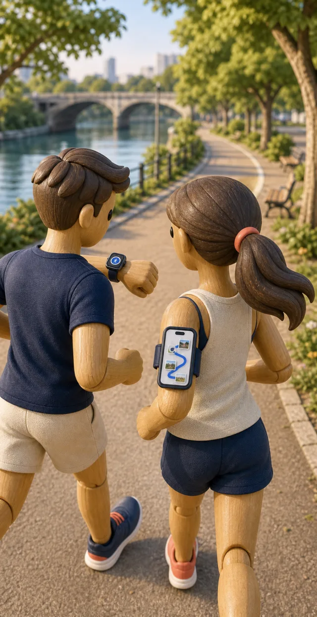
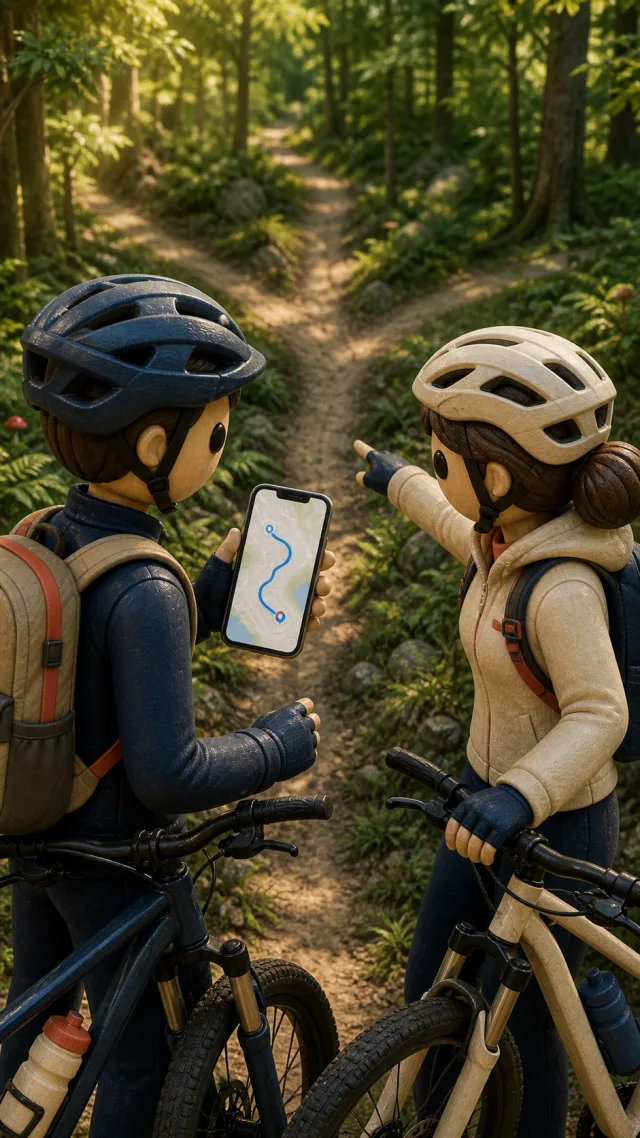

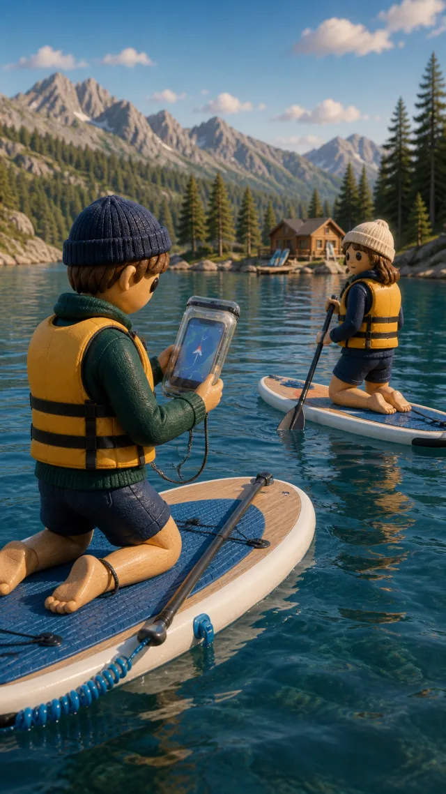
Whether a destination is set in advance or not – both ways are protected against crashes and empty batteries and automatically restore an interrupted recording.
A destination is already set. GPS Tracker: Summer actively guides you there and automatically recommends the matching Apple Maps routing mode for the chosen sport – on foot, by bike or motorized. For sports without their own road network, such as water sports, a straight line with compass leads to the destination.
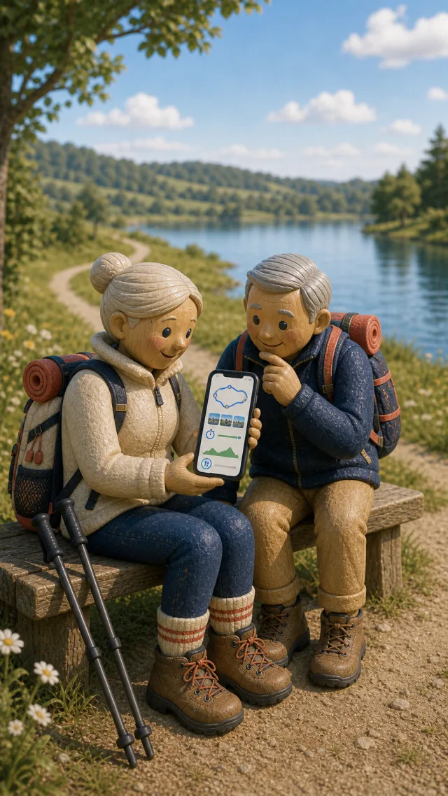
No destination, just go. The route is recorded wherever the tour leads – along the way you can also set your own markers and photos on the route, always easy to find again on the map.
An overview of the most important features.
Speed, distance and elevation in real time during the tour – tiles can be freely arranged per sport.
Running shows step data, water sports deliberately skip elevation values – every activity gets exactly the stats that make sense for it.
One tap is enough: every photo remembers position, elevation and viewing direction and appears as a waypoint with a view cone.
Distance, duration, vertical, gradient and stops – calculated automatically after every tour and exportable.
The running route is saved continuously and restored automatically after a crash or an empty battery.
An additional full-screen view for destination navigation – only direction, distance and arrival time, with no road network at all.
While moving freely, set your own markers at important or interesting places.

Every sport automatically recommends the right routing mode – on foot, by bike or motorized, confirmed or changed in the start workflow.
Navigate to a fixed destination or simply move freely – both ways protected against crashes and empty batteries.
Important address, return reminder and emergency contacts always stay reachable, even without a GPS signal.
Remote control and second display on your wrist – measuring happens only on the iPhone.
Speed, distance and elapsed time in real time on the Lock Screen and Dynamic Island. The widget shows your last tour, one tap starts the next.
For mountain biking and trail running the app detects individual sections of the tour automatically from the track.
Day overview, statistics for any period with charts, totals and personal bests. Export as PDF tour report or day report and as GPX. Apple Health optional.
Three runs and a hike in the same week? Freely assigned tags and a selectable period separate both in the statistics – or combine everything. Try it yourself in the “Days & tags” tab above.
This area is always reachable – even without a GPS signal it shows the most recently saved data and contacts.

Starting point, accommodation or meeting point – to show someone or to navigate there directly in Apple Maps.
A saved place and a time remind you of your return in good time – with distance as soon as a place is set.
A freely managed catalog of important contacts for emergencies.
This area is always reachable – even without a GPS signal it shows the most recently saved data and contacts. It can also be opened via Siri.
Optionally sync your data between your devices through your private iCloud. If two devices disagree, you decide in the conflict manager. Health data is not synced. Try it:
Evening ride
Tag: Bike
Mountain hike
Tag: Hiking
Local first, iCloud optional, no tracking.
All recordings, photos and contacts are stored on your own device first.
Sync via the private CloudKit database is a choice, not a requirement – switch it on and off any time.
No backend, no third-party analytics, no AI features – not even switched off behind a toggle.
Everything else is in the privacy policy.
One-time · No subscription · No in-app purchases
You pay once and use GPS Tracker: Summer without limits afterwards – no ongoing costs, no subscription and no hidden extra features behind a paywall. All features are freely available, and the app is continuously developed.
GPS Tracker: Summer for iPhone, iPad and Apple Watch – buy once, use for good.

The app covers 24 summer activities – from running, hiking and cycling through horse riding to motorcycle, kart and the ten water sports from open water swimming to kitesurfing. Every activity gets suitable stats and the right routing mode for Apple Maps.
With destination navigation GPS Tracker: Summer actively guides you to a set destination, with the Apple Maps routing that matches your sport or – for water sports – by straight line and compass. With “free movement” there is no destination – the app simply records the path you cover. In both cases your route is saved and can be complemented with your own photos and markers.
Every sport automatically recommends the matching Apple Maps mode – for example on foot for running, by bike for mountain biking or motorized for kart. You confirm or change the recommendation in the last step of the start workflow. For water sports, horse riding and quad Apple has no matching route: there a straight line and compass lead the way.
The running route is saved continuously. After an app crash or an empty battery, GPS Tracker: Summer automatically restores an interrupted recording.
This area bundles a saved important address, a return reminder with time and place and your emergency contacts. It stays reachable at all times and shows the most recently saved data even without a GPS signal.
Your data stays on your device at first. Optionally you can sync it encrypted between your Apple devices through your own private iCloud. There is no backend and no third-party analytics.
The app runs on iPhone and iPad, including support for Apple Watch, Home Screen widgets and Live Activity.
GPS Tracker: Summer costs a one-time €2.99 – no subscription, no in-app purchases. All features are available right away.